

Remote sensing is not a trick of psychics. As a summary term, remote sensing refers to any method of data collection and processing whereby an object or even a large area of land is measured from a distance without direct contact. One important technique of this is photogrammetry. As its name shows, photography plays a key role in this method: photographs are made of the subject and then, with different measurements and calculations the dimensions of the object on the picture are determined.
From maps to artworks
The photogrammetry has almost such a long history as the photography itself. In 1858, a young architect, Albrecht Meydenbauer almost fell off the dome tower in Wetzlar while measuring the building. By this incident he got fed up of working at high altitudes. Instead, he elaborated a procedure on how to determine the dimensions of an object based on photographs. Already in the 19th century, the first photogrammetric companies were formed. In the 20th century, plenty of maps were created, based on photographs taken from aircrafts and satellites. Then the large-scale computers and geospatial applications initiated a digital technology boom in this area as well.
But do not think that only the topography can be measured in this way. Photogrammetry is also a tool for obtaining data from buildings and objects. Because it does not need tactile contact with the object, it is perfectly suited for mapping fragile or difficult-to-access artwork. It results in a precise spatial description that can be used for archiving and presentation, but also for the reproduction of the subject.

Photo taken from the original object.

Virtual model with texture (detail).
How it is made?
Beside the highly experienced specialists, photogrammetry requires two essential tools. On one hand, very sophisticated metering cameras, on the other hand, processing algorithms and cutting-edge computing background.
Among the current cameras, the PhaseOne XF IQ medium format camera is the most suitable for this purpose as it is a market leader in imaging quality. The Danish manufacturer’s digital backs provide 100 megapixel resolution, 16-bit radiometric resolution, and 15 EV dynamic range. Thus, the information richness and the depth of the photos produce a stunningly realistic picture – even when zooming, the picture provides information that is no longer visible to the naked eye. The low noise level of PhaseOne images also contributes to this.
For spatial imaging, it is also important that the images have to be adequately overlapped, so a precise rail system is needed. Then, based on the photographs, photogrammetric processing creates a three-dimensional cloud of points and an orthophoto that can be considered a texture and allows a wide variety of uses.

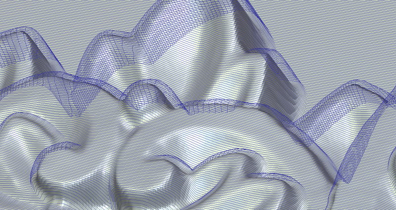
Detail of the three-dimensional vector net.
A detail of CNC milling tracks for the reproduction carvings.
What can the data from the artwork be used for?
A straight path leads from measuring the parameters of the object to the digital archiving of the object, since all the important information is given about its dimensions and surface. The information can be stored as data set and/or as a 3D digital recording.
Furthermore, since every aspect of the object’s physical appearance, surface texture and complex shape is captured, copies of the object can be made easily, for example, with 3D printing or milling machines, based on a digital model. For fragmented artworks, virtual reconstruction is also facilitated if the existing parts of the object are spatially digitized. The partially preserved art objects can be reconstructed in three dimensional virtual space and then produced for the physical reality.
But in addition to archiving and reproduction, photogrammetry also supports the spectacular presentation of artworks, interiors or facades. Based on the measured data, an interactive online interface can be created in which a visitor can take a virtual walk. Like a computer game, you can look around in that space as if you were personally there. In case of smaller artworks, you can circle around and rotate them; you can zoom into details that you would never see at an exhibition. A virtual 3D-presentation is not only attractive for those who are interested in art and culture, but it also provides accurate and easy-to-access information for scientific, research purposes, without touching the original object.
Authors: Gábor Bakó, Péter Peti, Boglárka Cziglényi
Original article: https://kulturalisoroksegdigitalizalas.hu/egyeb/fotogrammetria-lepjunk-mutargyak-terebe-virtualisan/